
*Please keep in mind that this is an entirely fictitious account of a fictitious journey. Any resemblance to real events or people is purely coincidental.
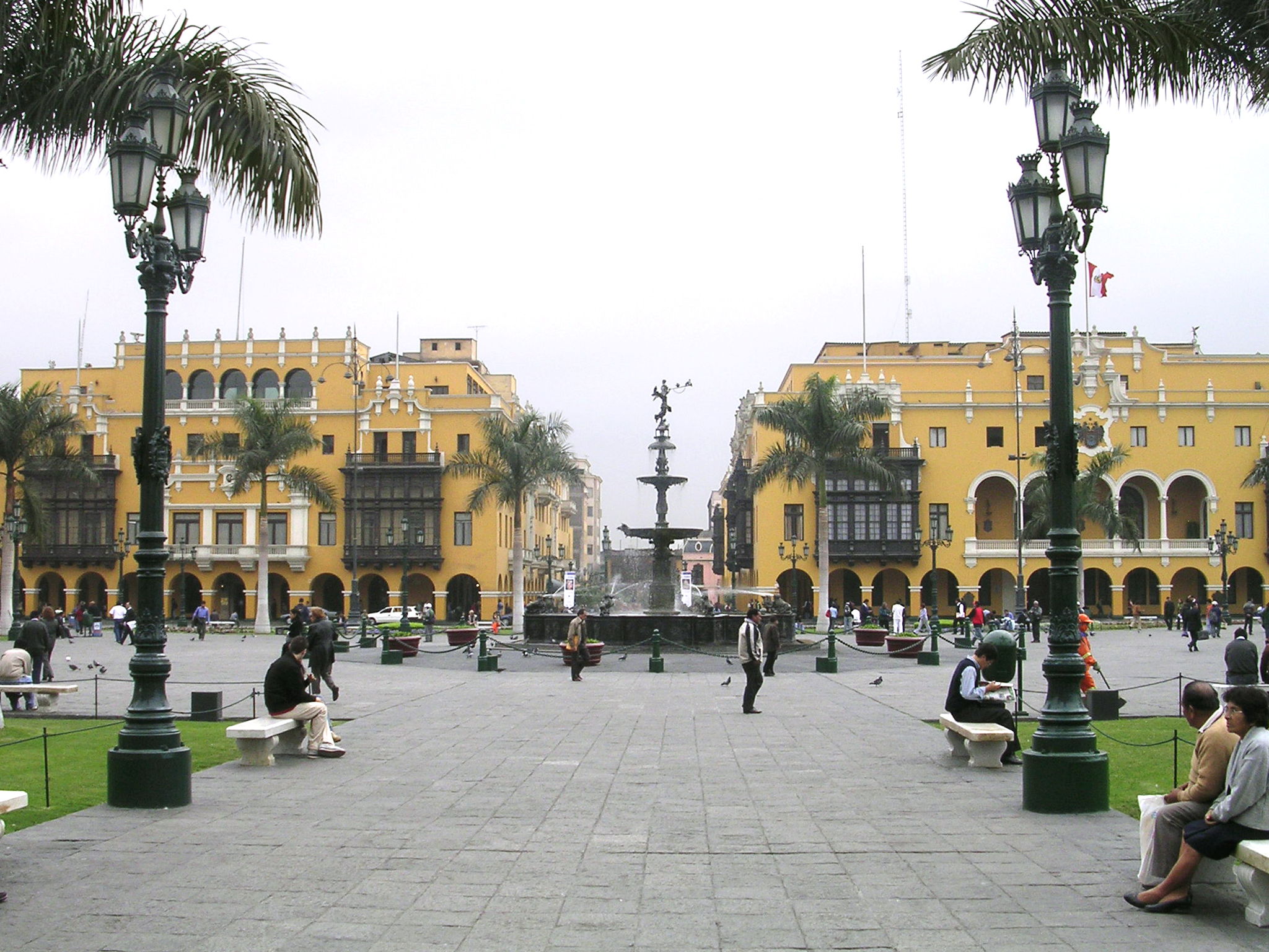
Hello! Today I am writing from the beautiful (though admittedly rather smoggy) city of Lima, Peru

Yay! For those of you who maybe haven’t glanced at a map in a while, Peru is in South America.The continental plate that forms most of South America is called (shockingly enough) the South American plate, which pushes up against the oceanic Nazca plate
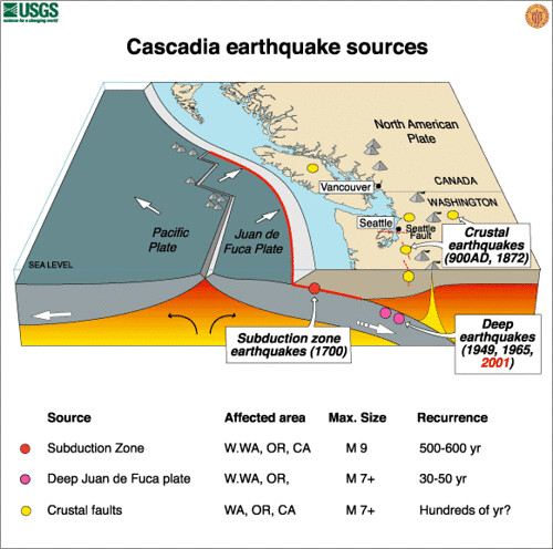
Remember this picture?

When these two plates collide, the oceanic plate slides below the continental plate, which buckles from the pressure, creating a mountain range and a subduction zone.
“Mountain range? Like the Andes?”

Yep. Like the Andes.
There are several volcanoes in the Andes, and there is a rather complicated system of volcanic zones that scientists use to keep track of and predict volcanic activity.
Earthquakes are also fairly common by the Andes, with the most recent earthquake being a 6.1 on the Richter Scale 2 months ago.
This area has been historically full of tectonic activity- there is evidence of volcanic activity dating back to the Triassic Period (250-200 million years ago), and volcanic activity has occurred fairly regularly for about 10 million years.
The reason most of the Andes’ “mountains” are volcanoes rather than actual mountains has to do with the fact that the tectonic boundary here is a subduction zone, rather than a collision zone. This is important because when the aforementioned oceanic plate subducts beneath the lighter continental plate, it gets really hot. This is because the farther down it goes, the closer it gets to the mantel, and the closer it gets to the mantel, the more it melts. When it melts, the lighter liquid rises slowly back through the plate as magma. It reaches the pressurized and buckled land near the surface, and eventually, it causes an explosion. In a collision zone, however, the two pieces of land simply push up against each other until they are forced to move upwards, creating a mountain range, much like the Himalayas

Earthquake activity in subduction zones is partly caused by plate slippage. The plate on the top builds up so much pressure due to friction and other factors that it slips down the subducting plate. This releases the existing pressure, but causes a lot of new pressure wherever the plate locks on again.
Another important factor in tectonic activity is the fact that cold oceanic crust is oftentimes slammed into the incredibly hot mantle, causing the surrounding crust to become much more brittle, increasing the risk of much more major earthquakes.
Subduction zones are also the only places where “deep quakes” occur. For the most part, earthquakes tend to happen within 20 kilometers of the surface. However, in subduction zones, earthquakes have occurred at depths reaching up to 700 kilometers.
Although this diagram illustrates what happens in the Cascadia subduction zone, it’s pretty easy to extrapolate from and illustrates the workings of a subduction zone nicely.

So far, my time here in Peru has been a blast! It’s been great getting to look at these things in person and meet the local people. I’m really looking forward to the next leg of my trip!
